
What makes a cycling network work well? Where are the missing links, which routes need better connections, and how could changes to street layouts make cycling safer and more accessible? A new open-source toolkit from the IT University of Copenhagen gives cities and planners practical tools to answer these questions.
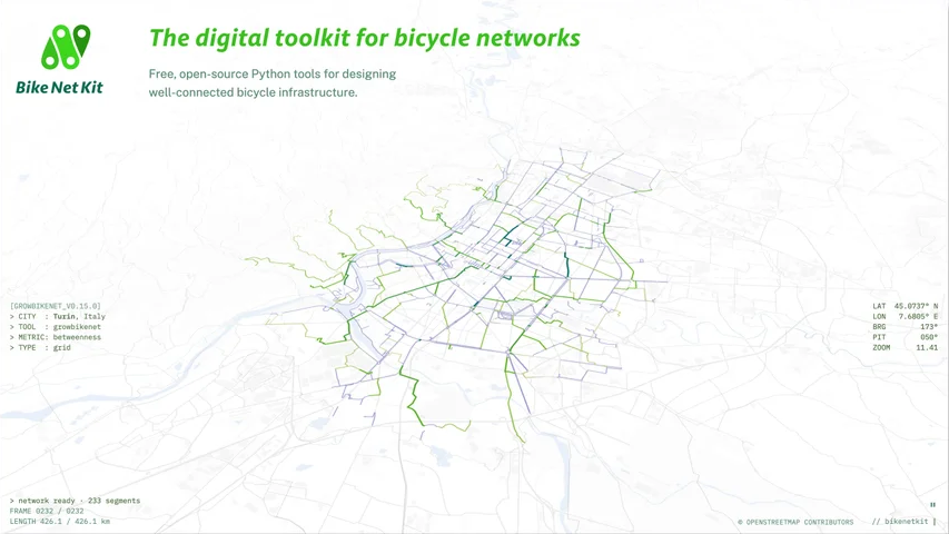
Image: IT University of Copenhagen
BikeNetKit launched in November 2026. It brings together free, data-driven tools for analysing bicycle networks and exploring ways to improve them, along with network analyses of more than 400 European cities. It was developed at the IT University of Copenhagen, a partner in the JUST STREETS consortium.
At bikenetkit.org, users can look at existing cycling infrastructure, identify gaps, and test how different interventions could strengthen local networks.
“BikeNetKit is the culmination of eight years of our research on bicycle networks. It’s a collection of free, open-source software tools that provide urban planners with data-informed decision support. It also allows citizens to develop their own vision of a city where safe cycling is possible.
The accompanying platform, developed by data visualization expert Moritz Stefaner, beautifully presents the results of our software for 412 cities, making them accessible to the public and helping guide urban planners. My hope is that our efforts will accelerate the transition from car-centric to human-centric cities.”
Michael Szell
Associate Professor, Networks, Data, and Society (NERDS)
IT University of Copenhagen
From Research to Practical Planning
Led by Associate Professor Michael Szell, BikeNetKit builds on the Science of Bicycle Networks. It combines Python-based planning software with an interactive visualisation platform, making the findings useful for real-world planning.
For cities, this means looking beyond individual cycle lanes to how the whole network works together. The software can help:
identify missing links and critical gaps,
connect fragmented routes,
explore superblocks: urban areas designed to reduce through-traffic by cars.
OpenStreetMap is the main data source, and users can also add city-specific datasets, including collision records, mobility patterns, and transport infrastructure data. Using them together makes it possible to investigate local challenges and pinpoint where improvements would make the biggest difference.
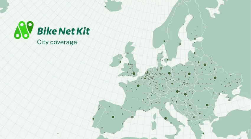
Image: IT University of Copenhagen
Open-Source Tools for Better Urban Mobility
BikeNetKit is free to use, adapt and build upon. Cities, researchers, cycling organisations and other users can work with their own datasets, customise the analyses and try different approaches to bicycle network planning.
The toolkit was developed at the IT University of Copenhagen with support from Denmark’s Innovation Fund and JUST STREETS. Developing and sharing practical resources like BikeNetKit is part of our work to help cities create safer, more inclusive, and sustainable streets. Learn more about our consortium.
Explore BikeNetKit
Curious about what a better-connected cycling network could look like in your city?
Visit bikenetkit.org for interactive maps and visualisations covering more than 400 European cities. The software is also available on GitHub.