
Urban Walk Guides
Exploring streets through observation, participation, and everyday experience.
These four Urban Walk Guides were developed by JUST STREETS partners and tested in Ljubljana along the corridor between the railway station and city centre.
Designed for planners, NGOs, students, researchers, local stakeholders — and anyone interested in making streets more human-friendly and inclusive — they can be adapted to different urban contexts.
Each guide includes hands-on activities, observation prompts and a final question, encouraging participants to reflect on how streets are experienced, used, and shaped by different people.
Why Walk Guides?
Streets are more than transport corridors. They are places of movement, encounter, care, commerce and everyday life. Understanding how people experience them requires more than technical analysis alone.
These urban walk guides offer practical, participatory tools for exploring public space from different perspectives — helping participants identify barriers, opportunities and overlooked dimensions of urban mobility and street design.
They can be used during workshops, field visits, educational activities, community engagement processes or independent exploration.
See also: Beyond the Conference Room: 4 Urban Walk Guides Tested in Ljubljana
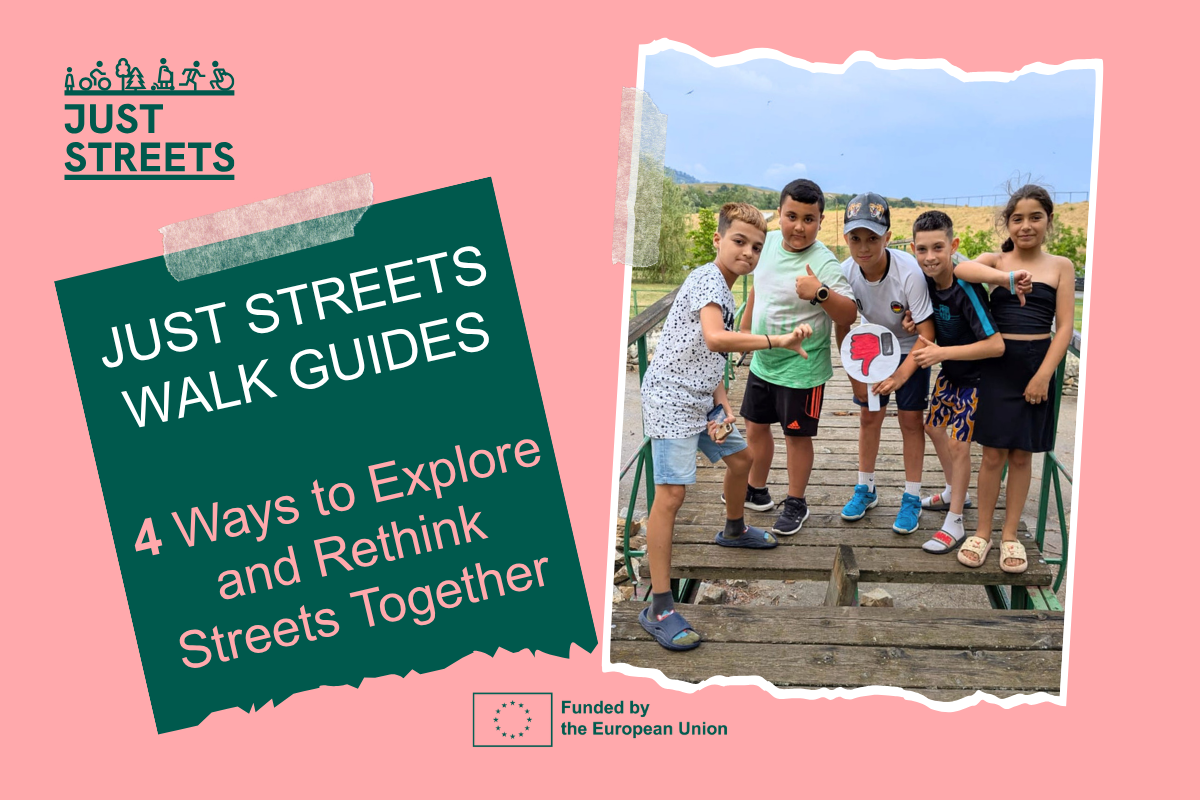
1. Human Scale & Accessibility
Designed by: International Federation of Pedestrians
Who do our streets really serve?
This guide focuses on walkability, inclusion and the everyday experience of moving through a corridor. Participants are encouraged to observe:
accessibility barriers and crossing conditions
pedestrian comfort and continuity
seating, lighting and rest areas
the experience of children, older adults and people with disabilities.
Key question: Who is the street designed for and who might be excluded?

2. Safety & Perceived Risk
Designed by: FEVR & Department of Psychology, University of Ljubljana
Where does a street feel safe, and where does it quietly create risk?
This guide explores visibility, conflict points and speed perception beyond accident statistics. Participants are invited to reflect on:
perceived versus measured safety
visibility and sightlines
conflict points between different street users
speed, stress and comfort in public space.
Key question: How do people experience safety in everyday street environments?

3. Who Owns the Space and Who Decides?
Designed by: SocialFare
Power, allocation, and the politics behind street design.
This guide examines how public space is distributed and whose needs dominate urban decision-making. Participants are encouraged to consider:
allocation of space between transport modes
commercial versus social uses of streets
visibility of different user groups
participation and influence in planning processes.
Key question: Who benefits from the current design of the street — and who has a voice in shaping it?

4. Citizen Science & Street Intelligence
Designed by: Technical University of Cluj-Napoca
What can we measure, observe and test to better understand a corridor?
This guide combines perception with measurable evidence on environmental quality and street activity. Participants are encouraged to explore:
air quality and environmental exposure
activity patterns and movement flows
noise, comfort and street conditions
observation methods and simple data collection tools.
Key question: How can observation and evidence support better street design decisions?
